Today was one I’d been looking forward to all trip: The Tongariro Crossing. Probably the most popular hike in New Zealand, it’s a 13 mile one-way adventure through volcanic fields, geothermal vents, and alpine lakes. We parked at the end of the track at 7am and caught our pre-booked shuttle to the trailhead.
At the start of the trail it was not at all surprising that this is called the most popular hike in NZ - there were around 100 people there are the start, and likely more than 1000 on the track that day. If you look for solitude and privacy, this is not the trek for you!
A chilly start in the shade has us climb gradually until we were solidly at the base of Mount Ngauruhoe, made famous by the Lord of the Rings trilogy for being the stand-in for Mount Doom in Mordor.
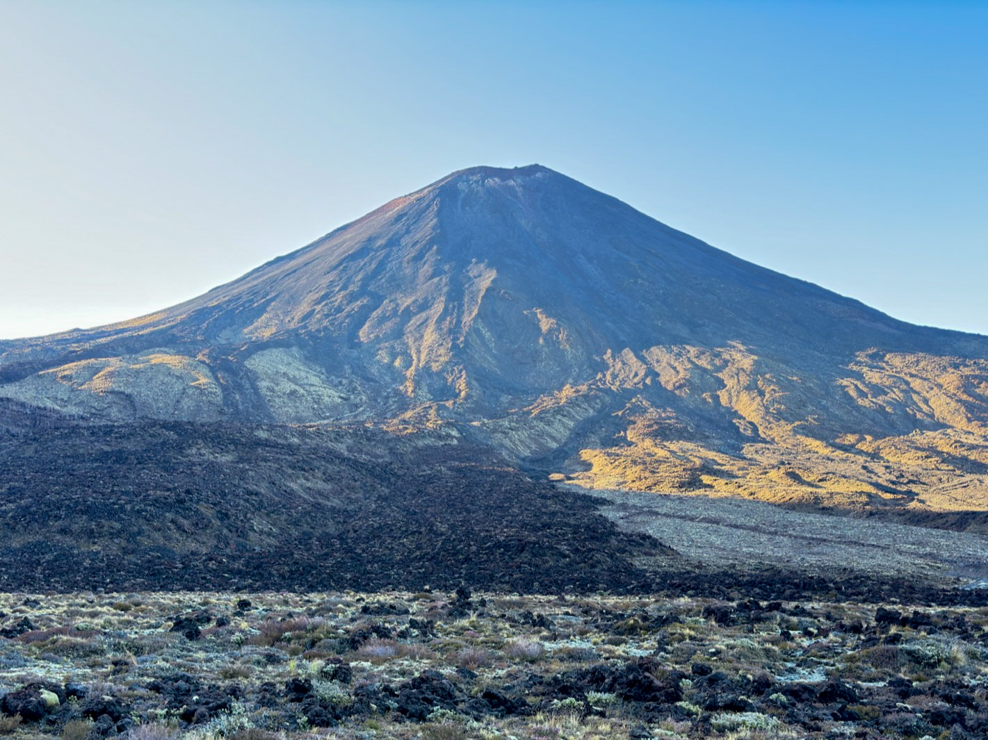
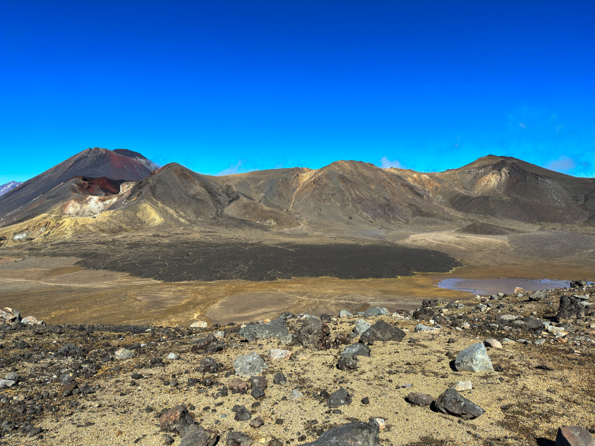
After the first big climb we trekked across a plains that felt like another planet (or maybe Mordor?). Vegetation was scarce outside of the tufts of yellow grass dotting the landscape.
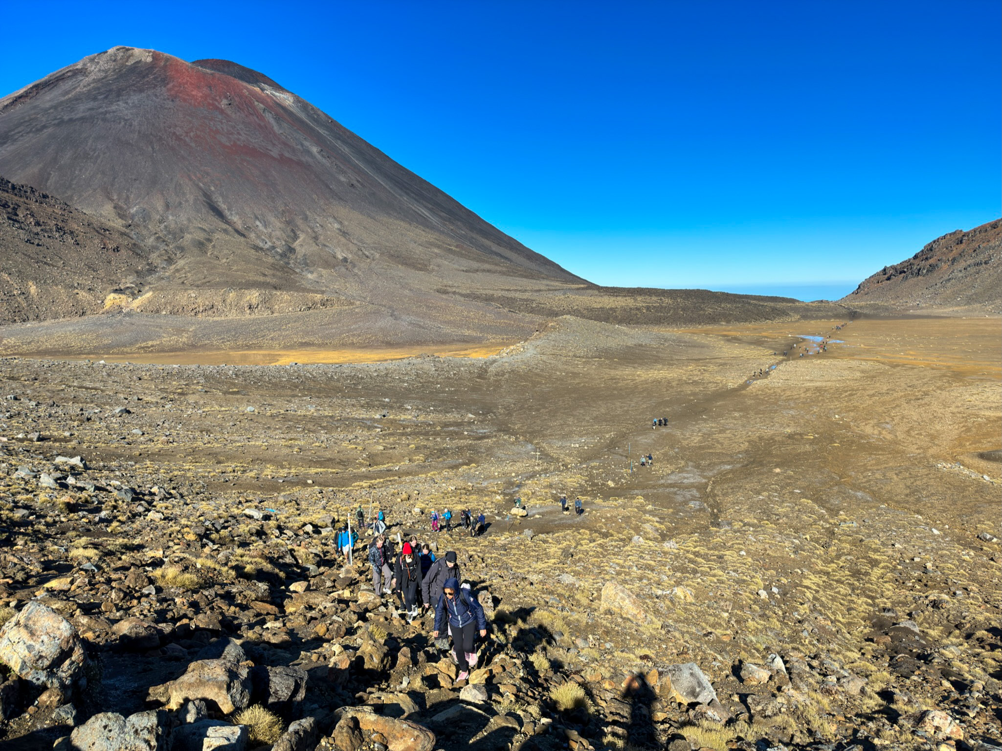
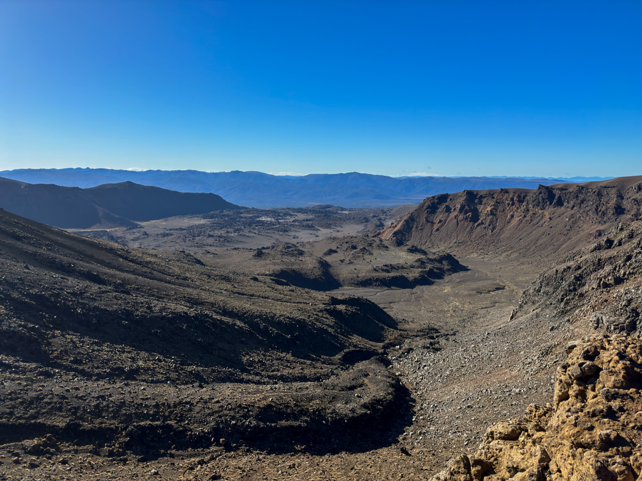
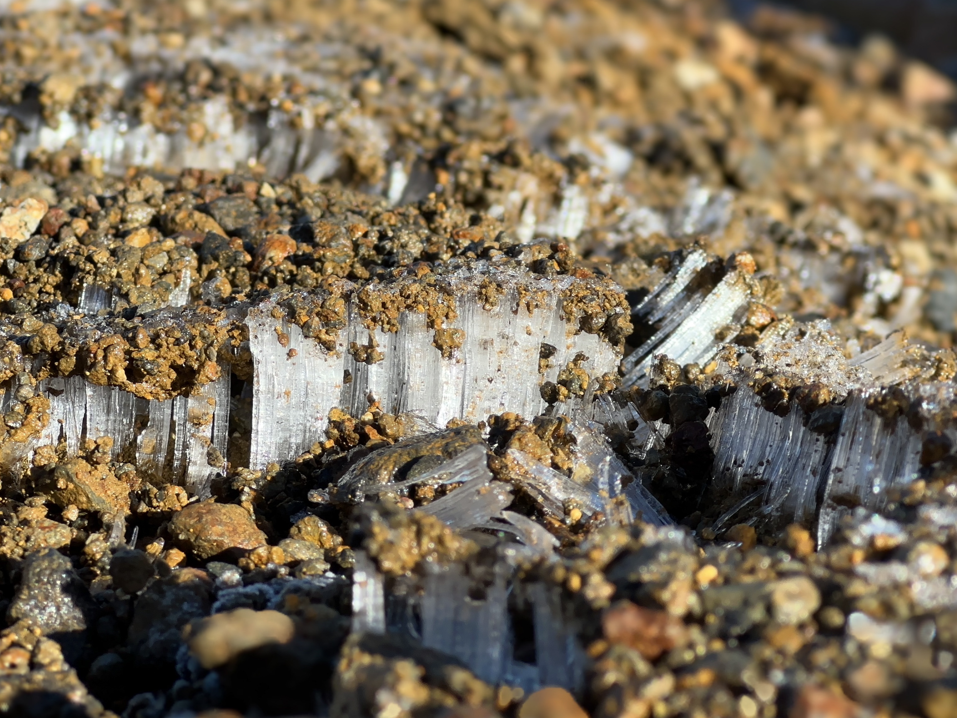
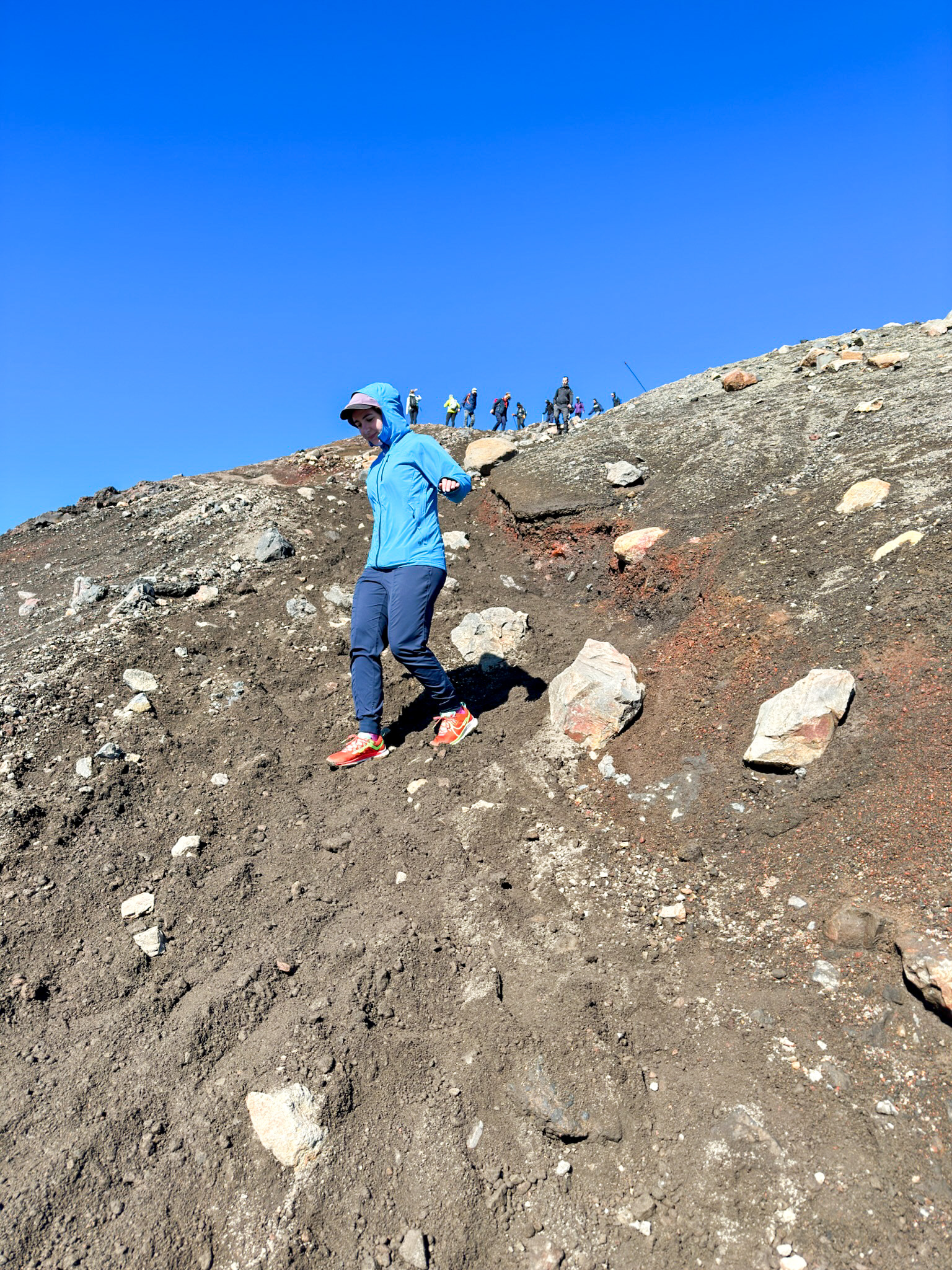
The hiking was relatively easy and well-maintained, with one exception: The ascent and descent from Red Crater. The way up was a slick and steep path made more challenging by patches of ice still hanging on from the previous night. The way down was loose rock and dirt, something I’m well familiar with from scrambling in the PNW. Luckily, no injuries on either side and we were rewarded with some astounding vistas of these remarkable geological features.
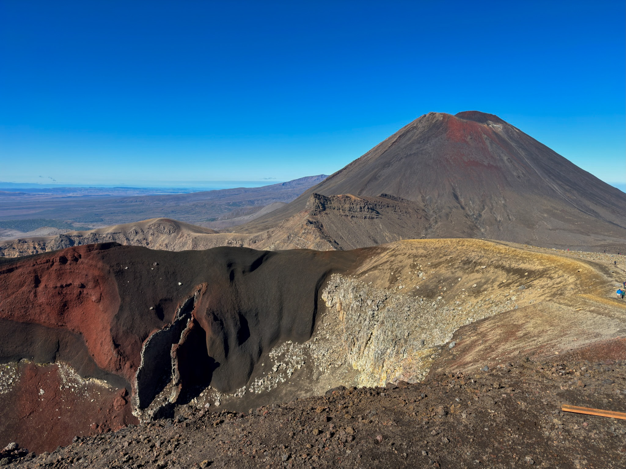
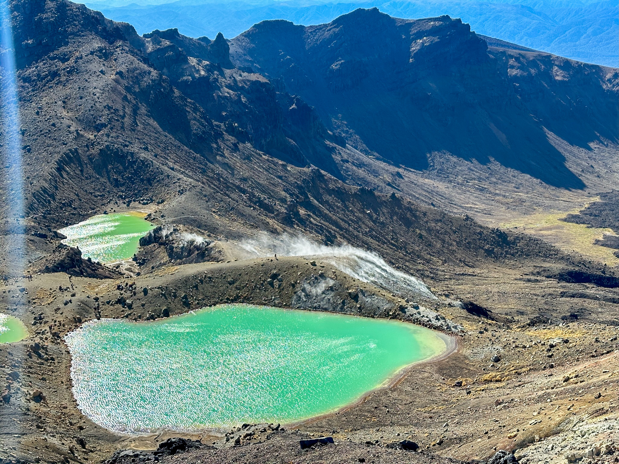
The volcanoes are still relatively active, with the last eruption occurring in 2012. Luckily the mountain stayed quiet for our trek! After making the last climb to Blue Lake we turned back for a final look at the old lava flows below the craters and began our long descent to the car.
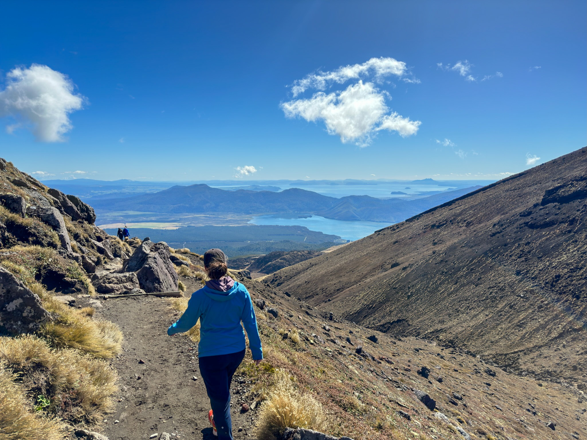
After a descent that felt far longer than anything before it, we arrived at the car. In total, the trek came in at 13.3 miles and 2900 feet of elevation gain. Quite the long day, and we got very lucky with the weather. Being an alpine environment the conditions can turn very quickly; more than 300 people have been rescued from this area over the past 7 years. If you’re up to the challenge, though, it is well worth the journey. The views and terrain rival any volcanic area in the world.
Our trip is fast coming to a close. Tomorrow we make the drive to the Waitamo Caves for our last hurrah: A 5 hour adventure into the abyss.