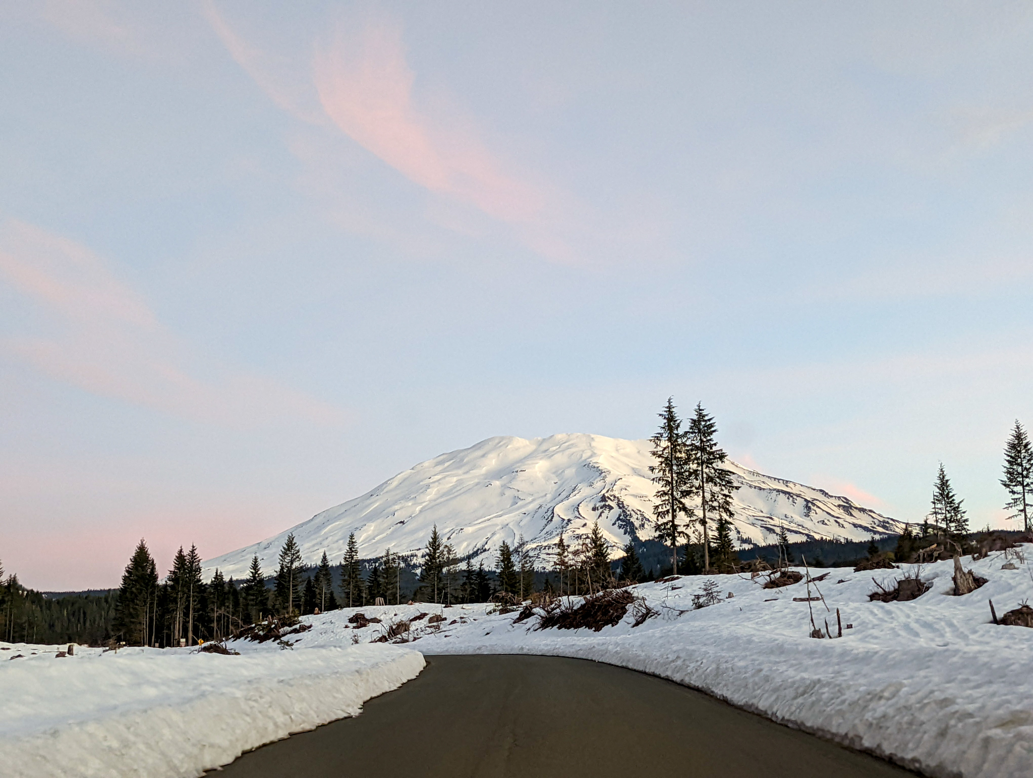
This weekend I checked a big one off of my PNW bucket list: climbing and skiing Mount St. Helens. At 5500 feet of elevation gain over a 10 mile round trip, this would be my first volcano and one of my longer climbs. With the weather on the mountain Saturday forecasted to be warm, sunny, and slightly breezy I drove down to the Marble Mountain Sno-Park on Friday evening and spent a pleasant (if slightly cramped) night in the trunk of my car.
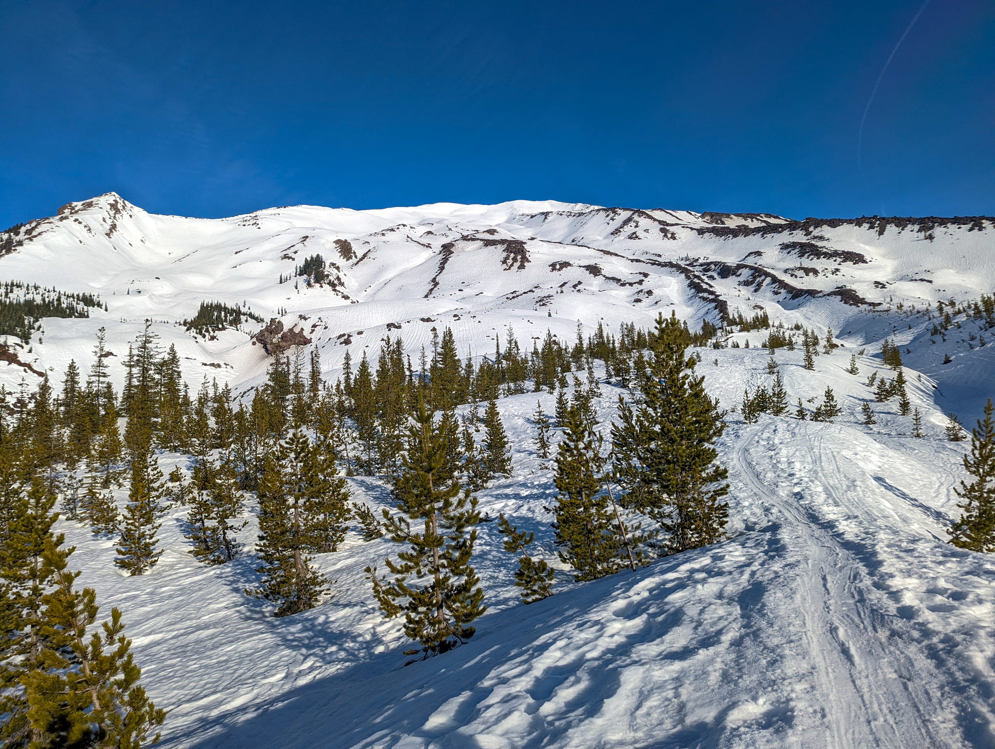
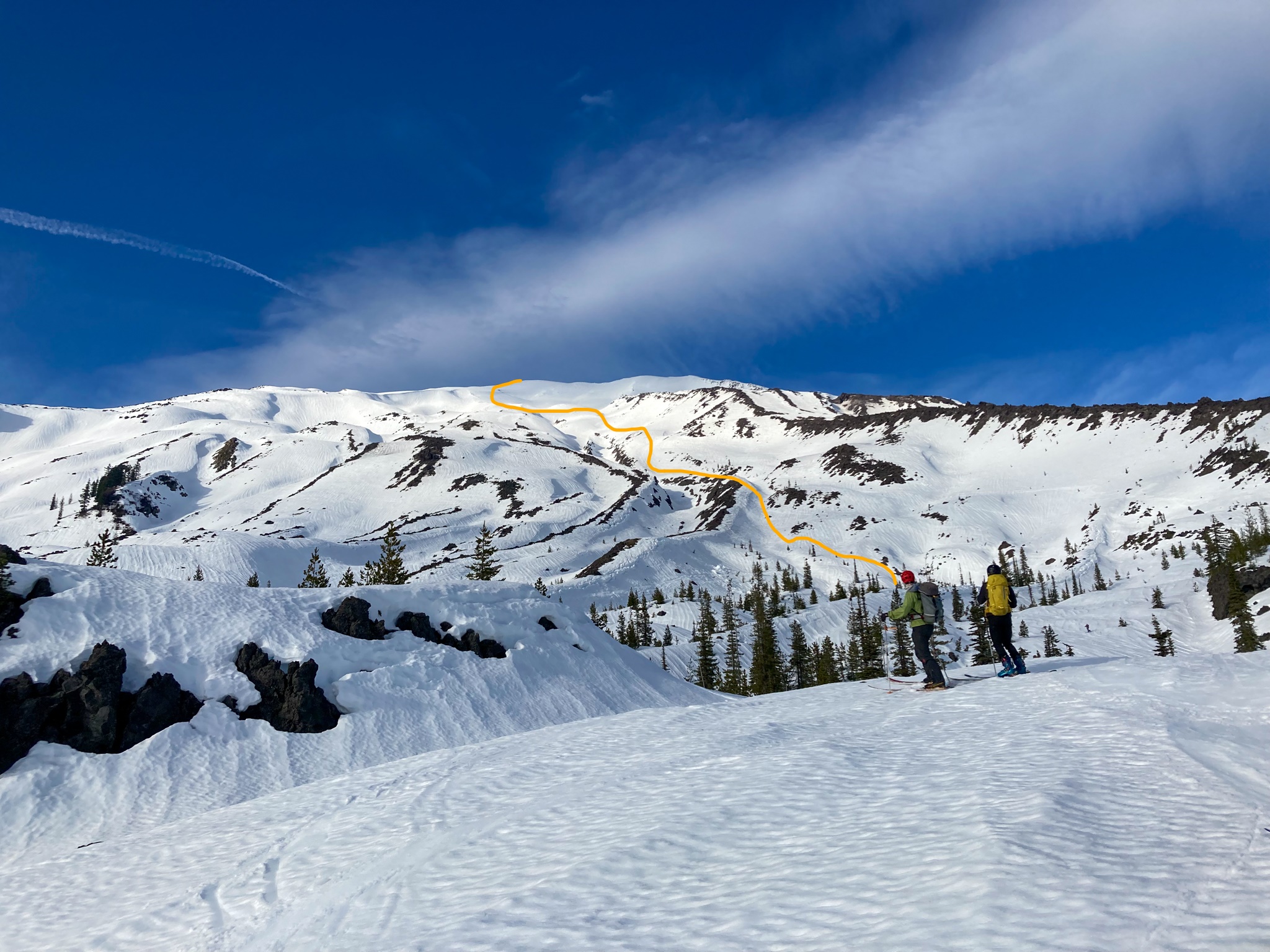
Kincaid drove up the next morning and we started on skis from the lot at around 8:15, hoping that our relatively late start would lead to better snow for our descent. We gained the first 1000 ft. over a mellow two miles in the woods. After a brief blister-damage-control stop at Chocolate Falls we broke out of the treeline and were greeted with our first full view of the route up the Worm Flows.
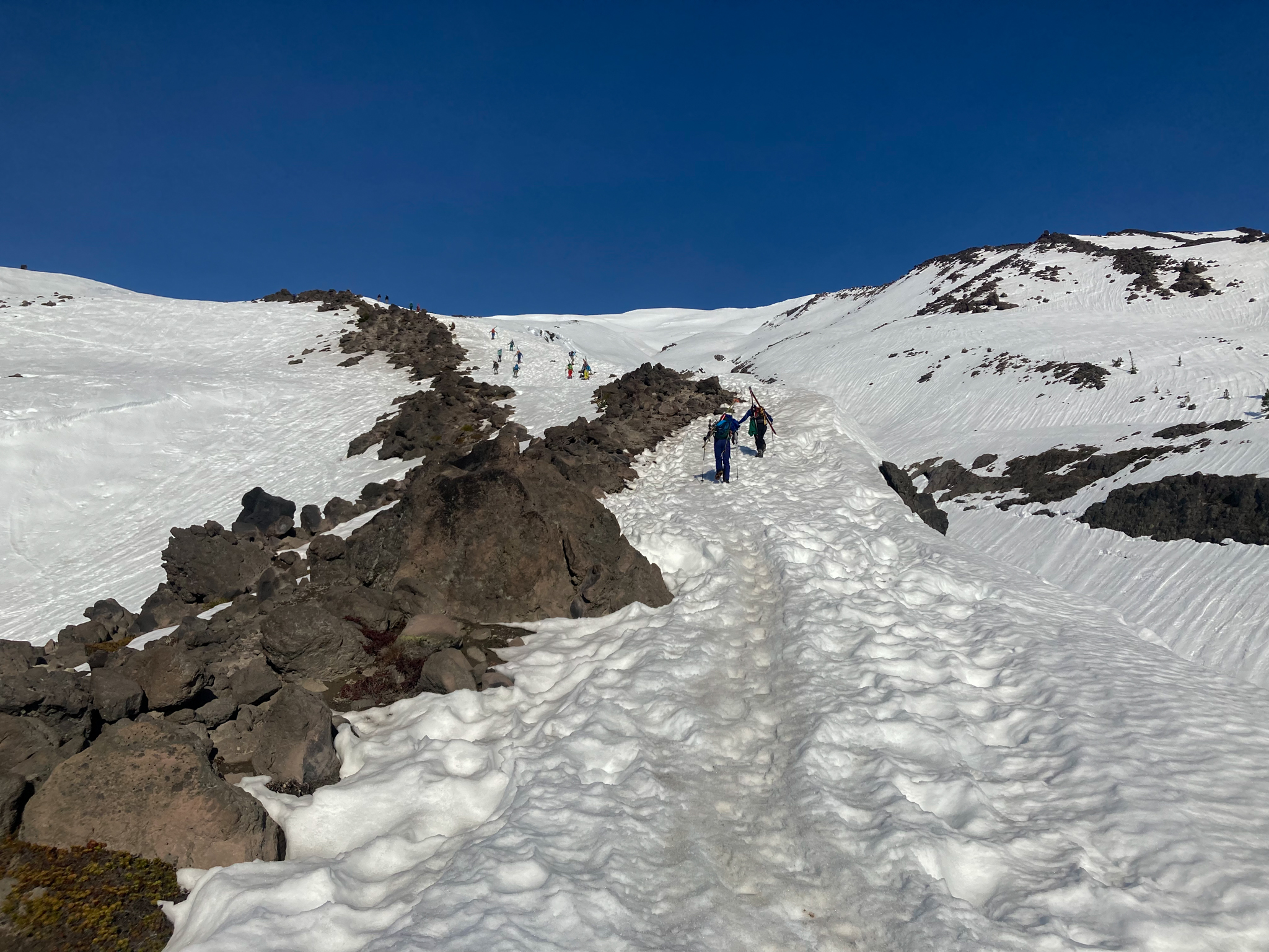
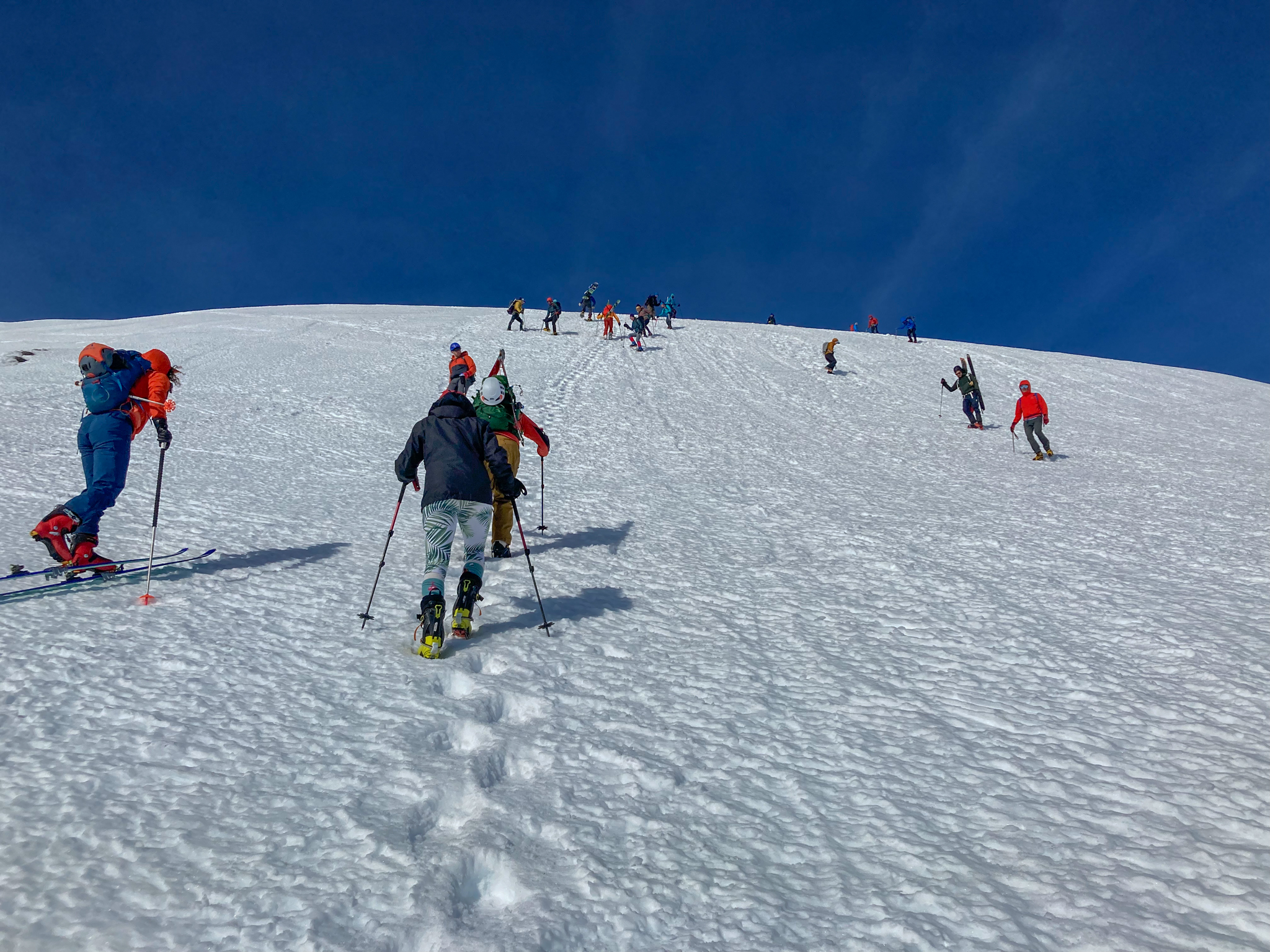
We skinned along a bit further and decided to throw the skis on the pack and boot directly up the rocky ridge. This is the more direct route, and with the tough snow we wouldn’t be saving any time staying on our skis. By this time we’d caught up to a few different groups. St. Helens on a bluebird day is a party, if isolation is what you seek then best to look elsewhere.
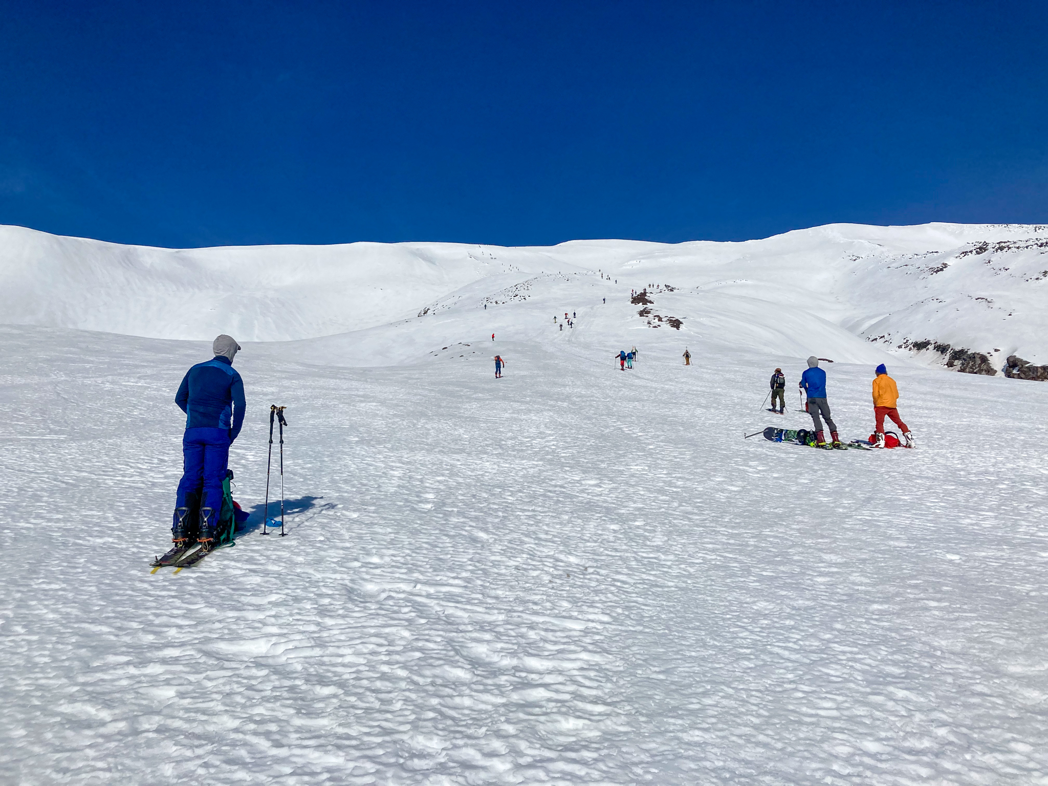
Towards the top of the rocky ridge we broke for a snack and a chance to give our feet a break from the ski boots. We’d traveled 3.75 miles and gained 3000 feet in the 2.5 hours we’d been climbing - only 2200 more to go! We put the skis back on to continue our ascent but were faced with wind-blasted, bulletproof snow. Ski crampons to the rescue! What we lost in glide efficiency we gained in, well, not falling off of the mountain.
One mile and 1500 feet later we were at the base of the “crux” pitch where we found our friends Rachel and Cameron waiting for us. Above was a short slope of 30-40 degrees, the steepest we’d seen all day. The consistent winds at this elevation had prevented any softening we might have had from the few hours of daylight, so we opted to put the skis back on the pack and trade the ski crampons for boot crampons. Well, three of us did - Kincaid kindly donated his crampons to Rachel and proceeded to show off his skinning skills on variable snow up the rest of the mountain.
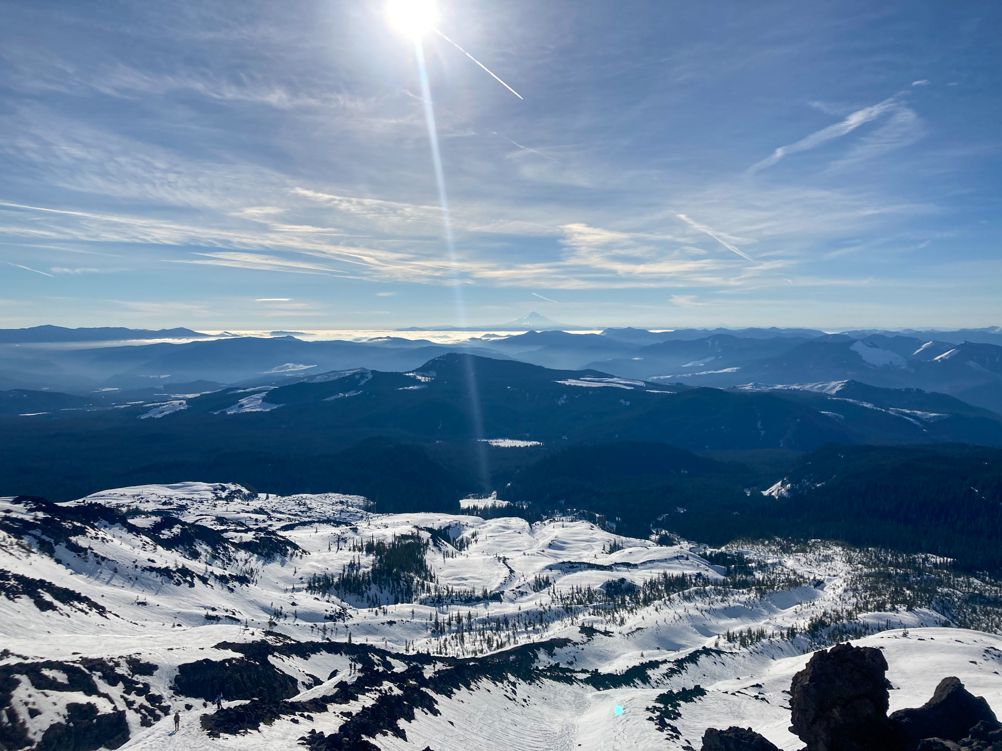
While I spent most of the day staring down at my boots (left–right–breathe, left–right–breathe), I did occasionally remember to look up and take in the marvelous views. The Pacific Northwest is truly an incredible place and I’m lucky to have called it my home for so many years.

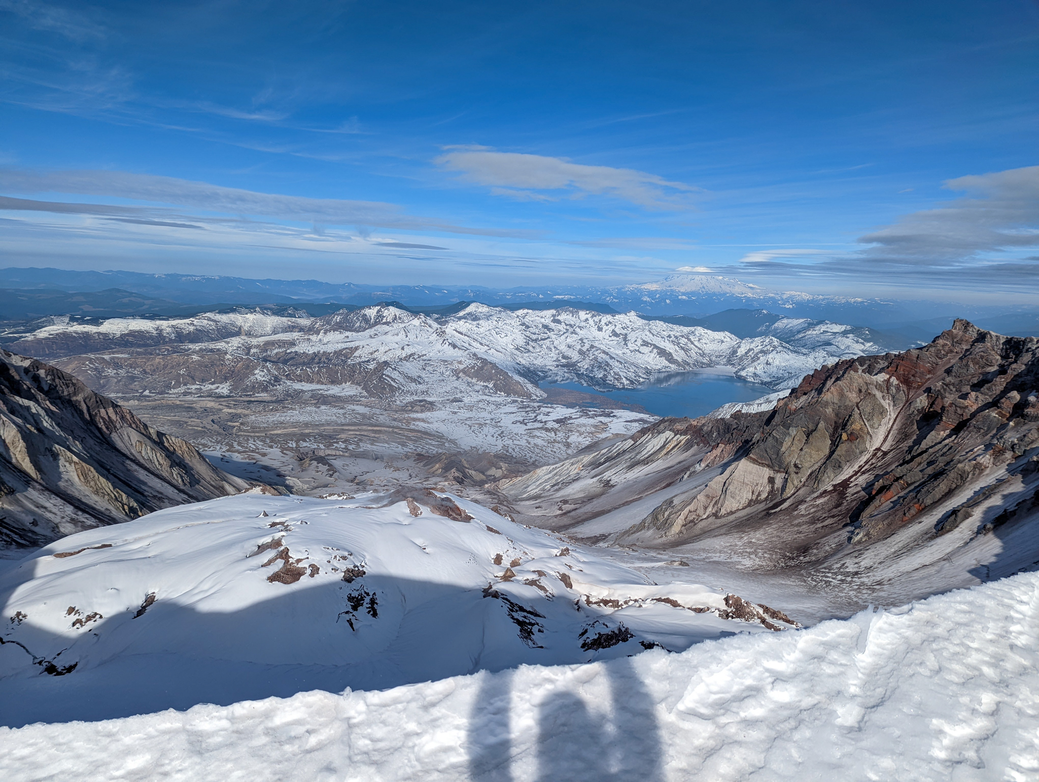
We reached the summit at 1:15, 5 hours after we began our trek. Ok, fine, the crater rim, not quite the summit. The true summit is a quarter mile traverse along the rim from the top of the climbing route. I’m no peakbagger, and with sustained 25mph winds and bulletproof snow at the rim we opted to skip the true summit and quickly transition for our ski down after snapping a few pictures of the most active volcano in the continental US.
We knew from our ascent that skiing from the rim would not be a pleasant experience, and quite a few folks (including Rachel and Cameron) opted to downclimb instead of strapping the skis on. Kincaid and I were up for the challenge, though, because darn it I was going to ski from crater-to-car. While not exactly a no-fall-zone we both locked in our toe pieces to prevent an unwanted release on the bumpy skating rink - on our way up we saw someone double-eject and did not relish the prospect of trying to put skis back on in the middle of the slope.
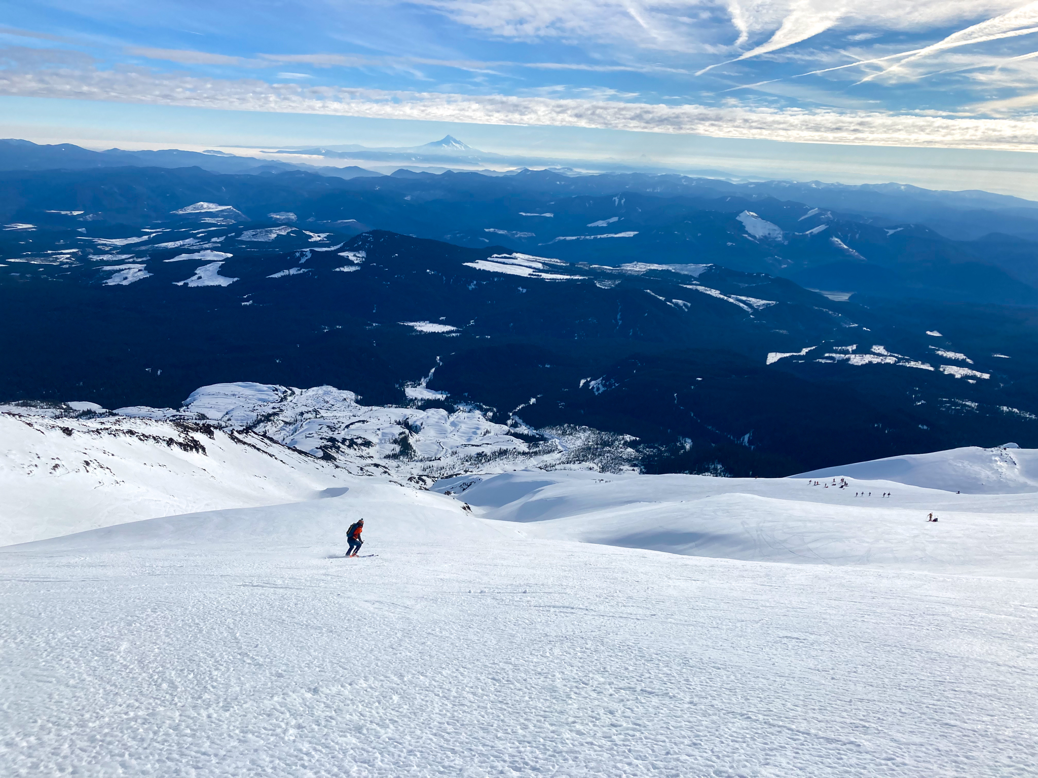
1500 feet of scraping, chattering, leg-massaging skiing later we were back to Rachel’s skis below the “crux”. From here we traversed east, hoping that the gulleys in that direction would have protected their snow from the ridgeline winds. Just as we were losing any hope of finding decent snow our hopes were realized and conditions changed in an instant to sweet, soft, corn. We hooted and hollered our way down the next 2500 feet, picking our way through the small gulleys and valleys. It’s amazing how an exhilirating ski run can wipe away the exhaustion of a long climb!
We soon rejoined the ascent route and followed the danger trail through the woods, dodging the occasional snowshoer or family of sledders along the way. Before long we were back at the parking lot, completing our 5500 foot descent on skis. By far my longest ski run ever, and well worth the climb. St. Helens is a fantastic introduction to alpine travel in the Cascades, and I can’t wait to get out after more big objectives this winter.
